Aerial Photography
The Blackwater River from past to present
For a tutorial about the Blackwater Maritime Heritage Trail click the link: https://youtu.be/kvP6E67LuBE
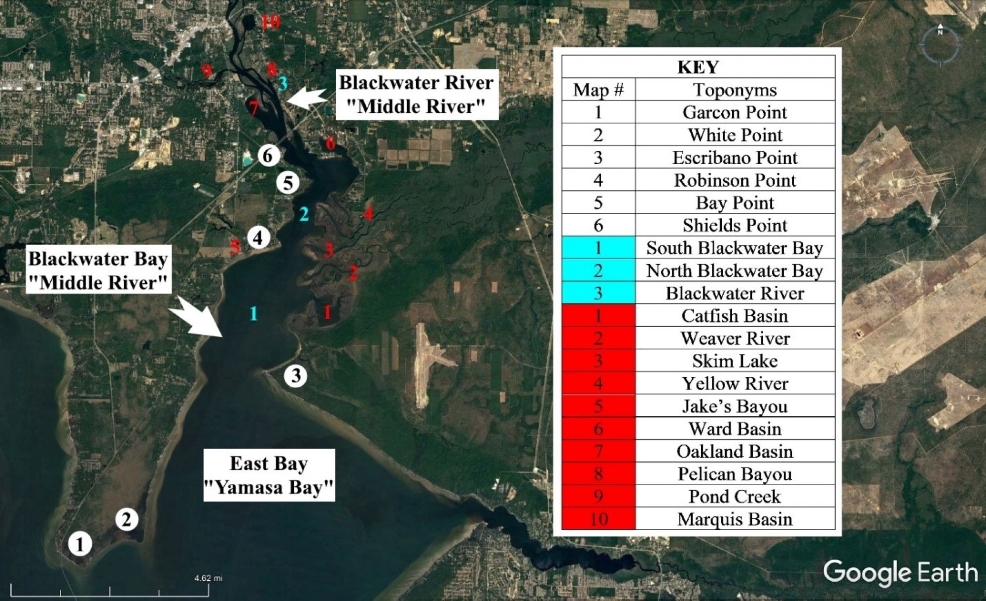
The first chart in this section is the Key to all aerial photgraphs donated by the Badad Waterfronts Florida Partnership 501c3 non-profit.
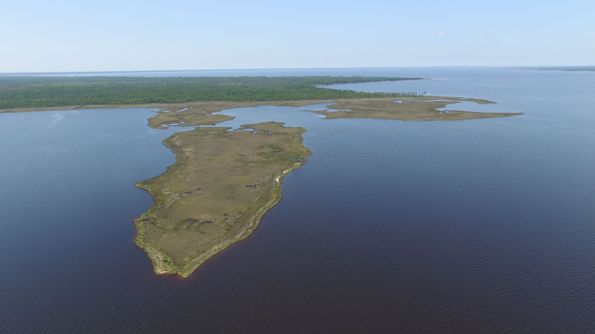
Fundy Bayou with Escribano Point in the background
Facing south with Catfish Basin to the left and Escribano Point in the background
Catfish Basin facing northward
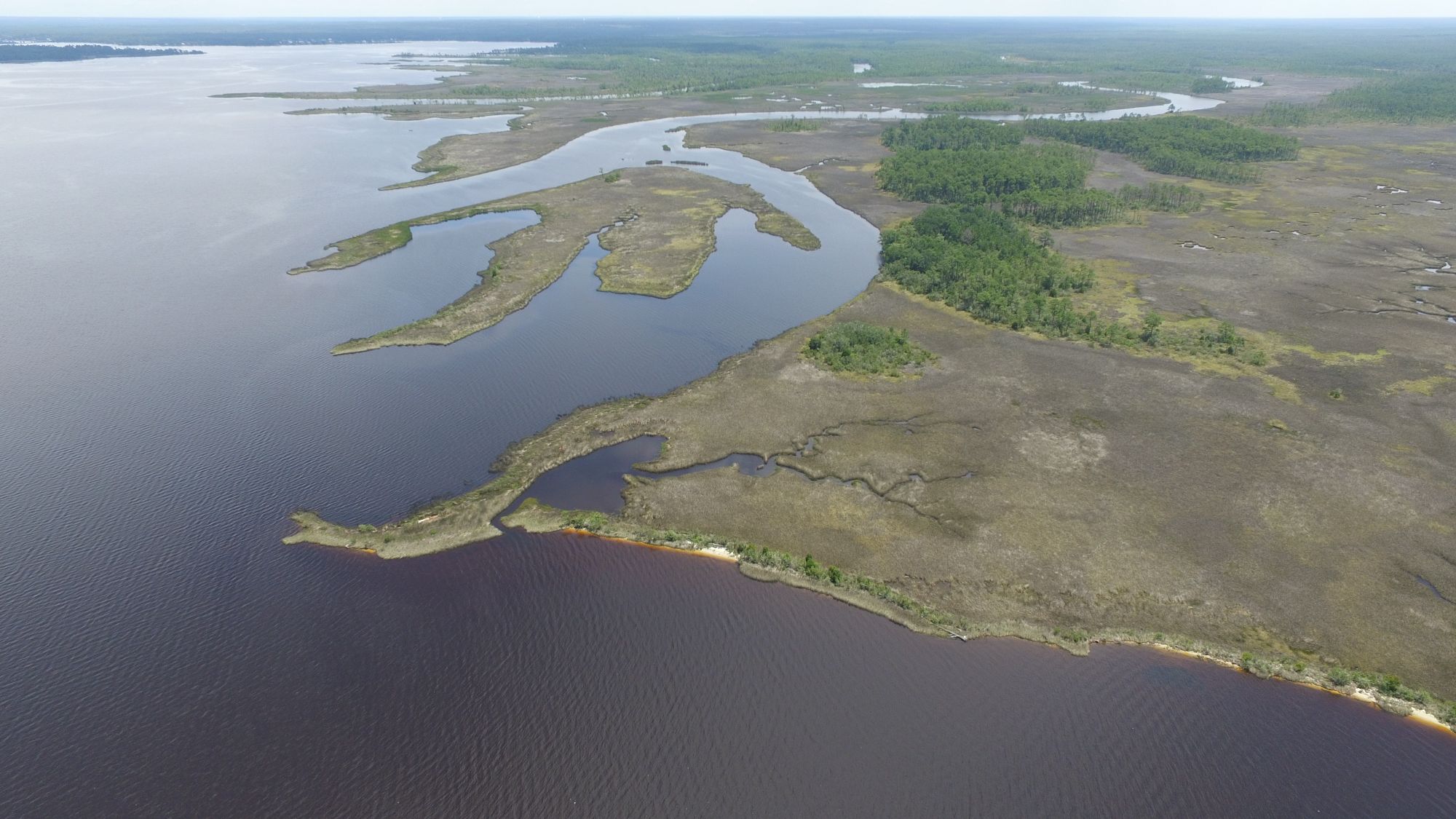
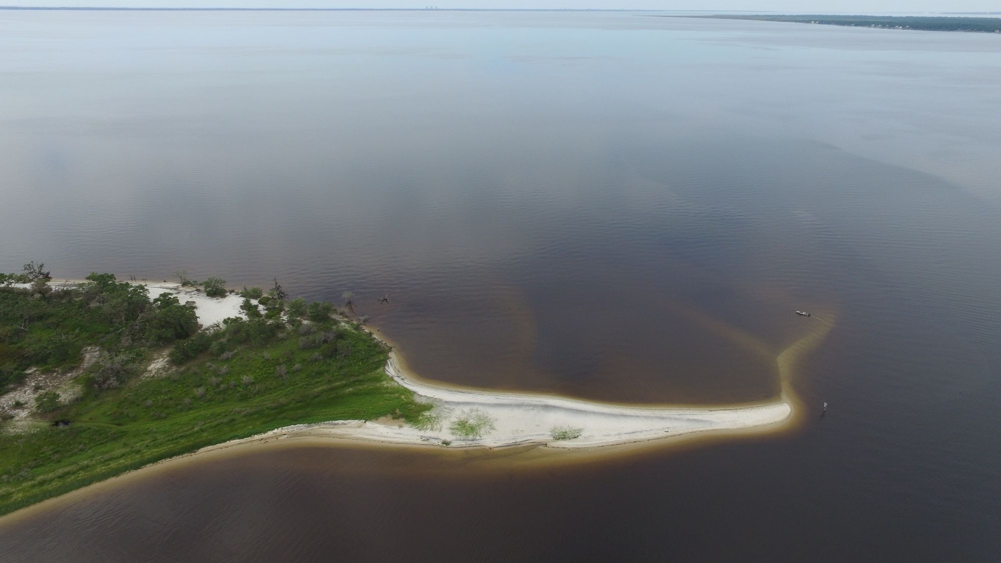
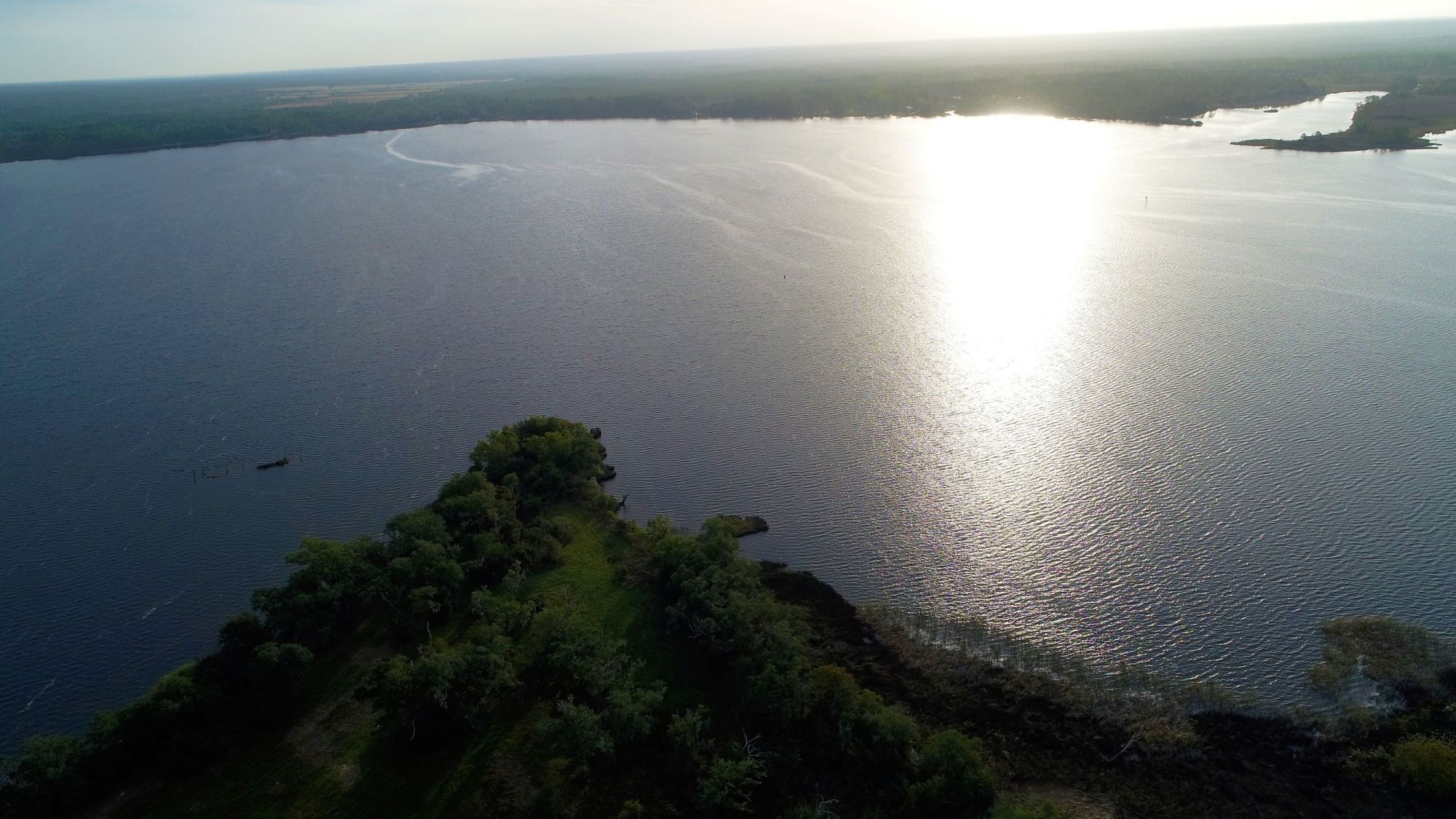
Robinson Point facing south toward Escribano Point (left) and Garcon Point (right)
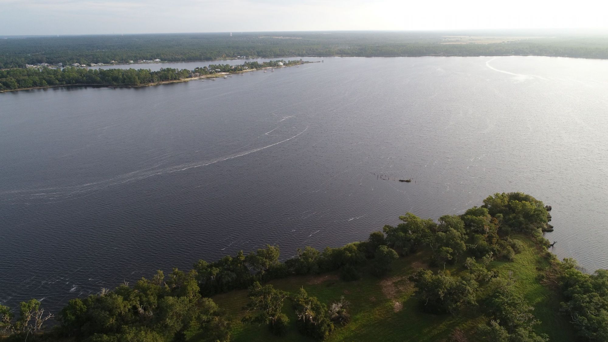
South Blackwater Bay with Bane's Canal in the foreground
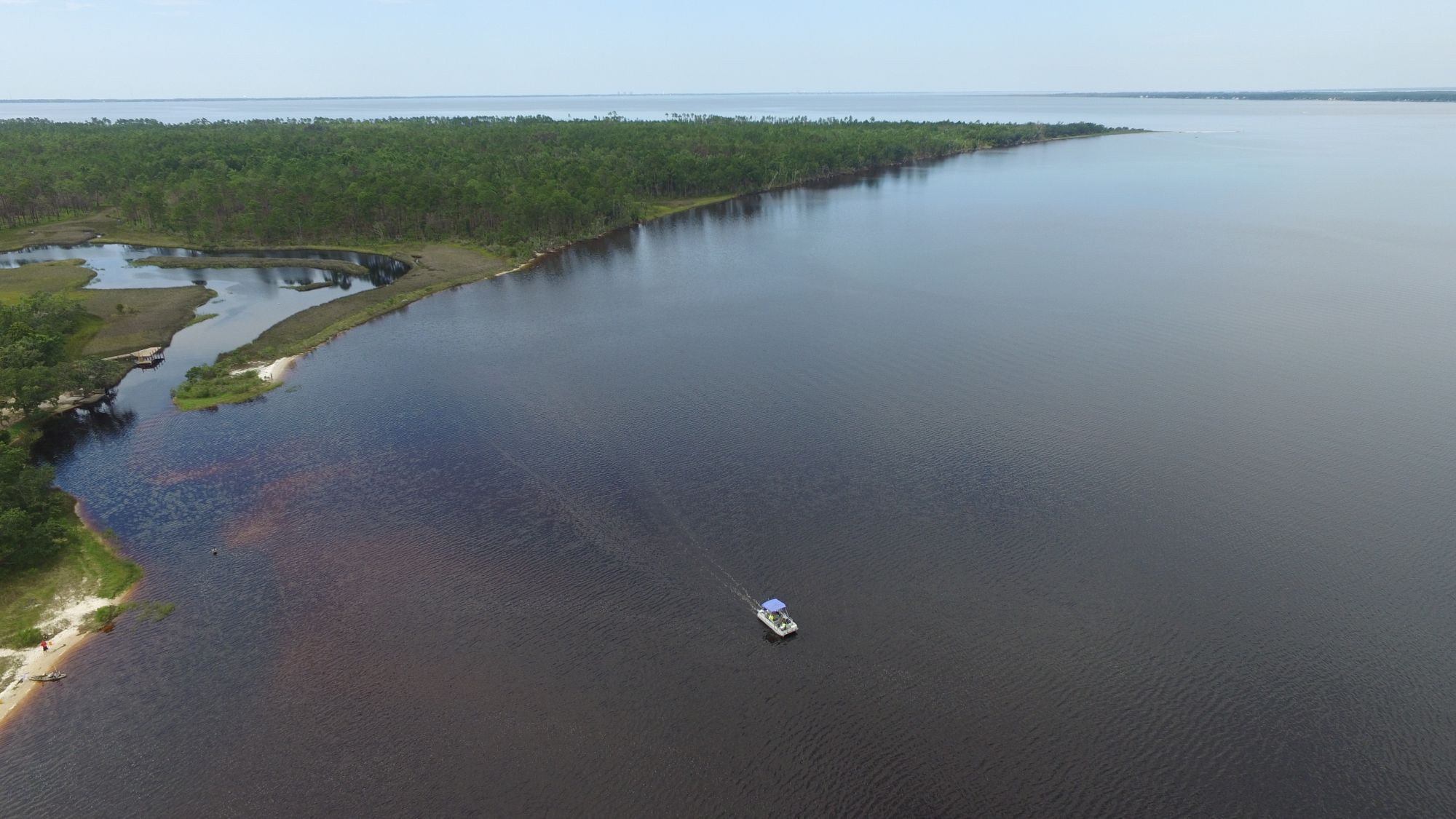
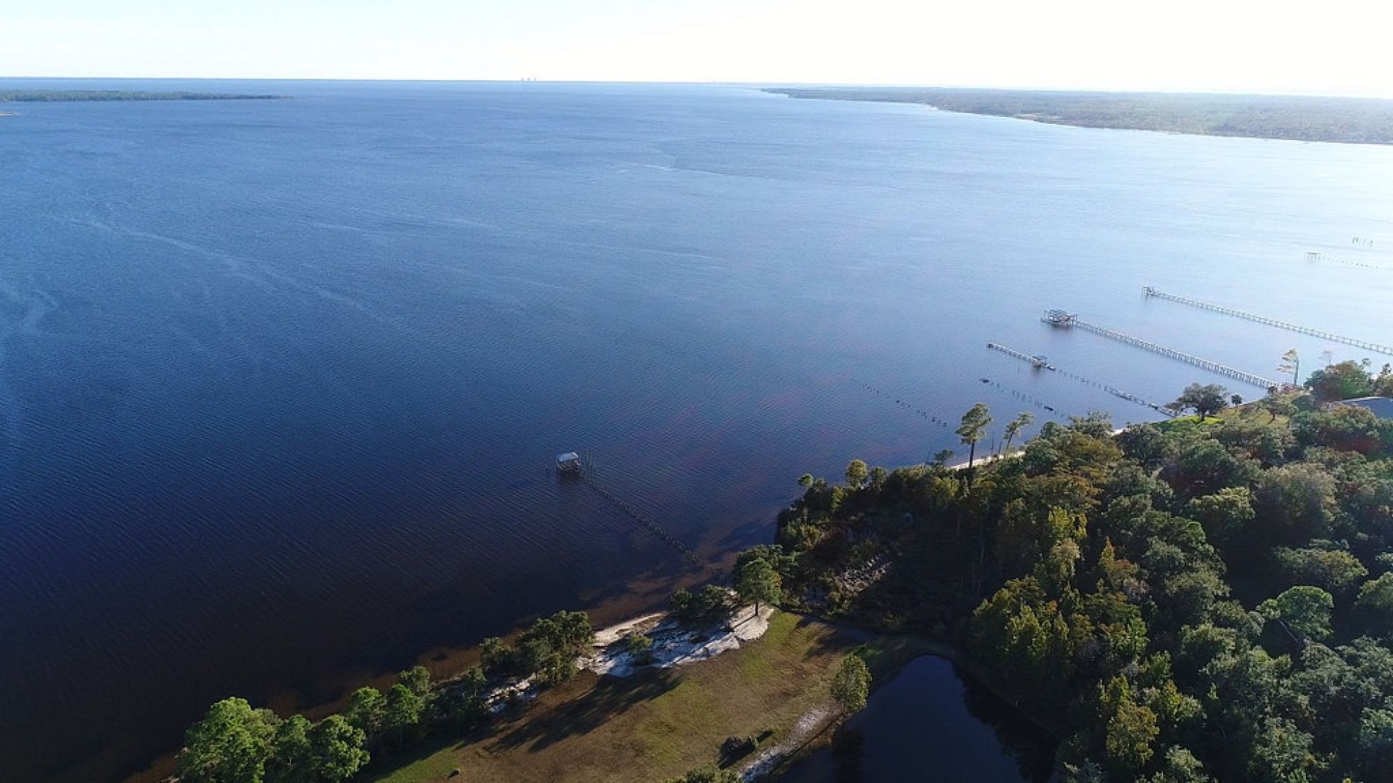
Bay Point with the entrance to the Yellow River
Bay Point in the foreground with Peterson Point in the back. Remains of the historic Bay Point Mill can be seen sticking out of the water at low tide.
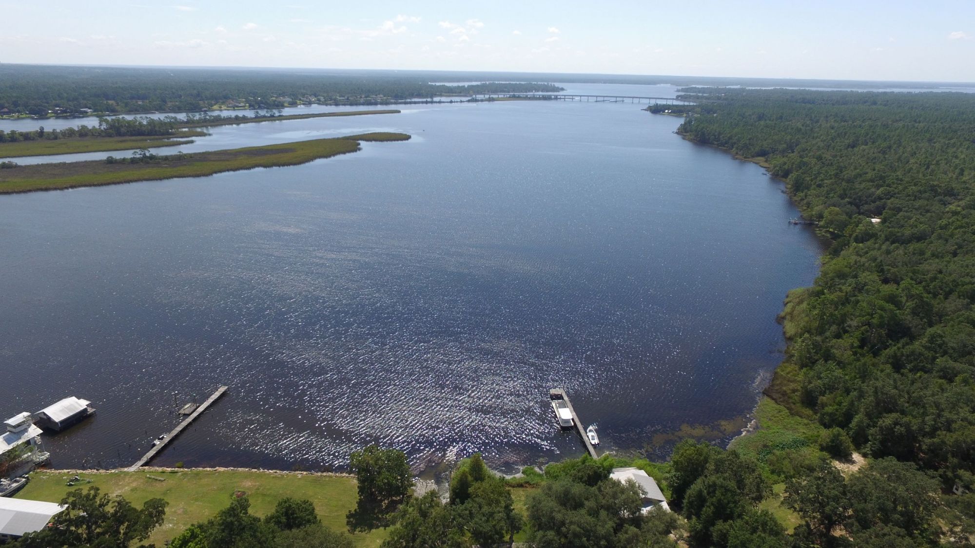
Oakland Basin with the I-10 bridge and Bay Point downriver
Dutchman's Cut which is a shallow path one can take to quickly enter Oakland Basin from Blackwater River's channel
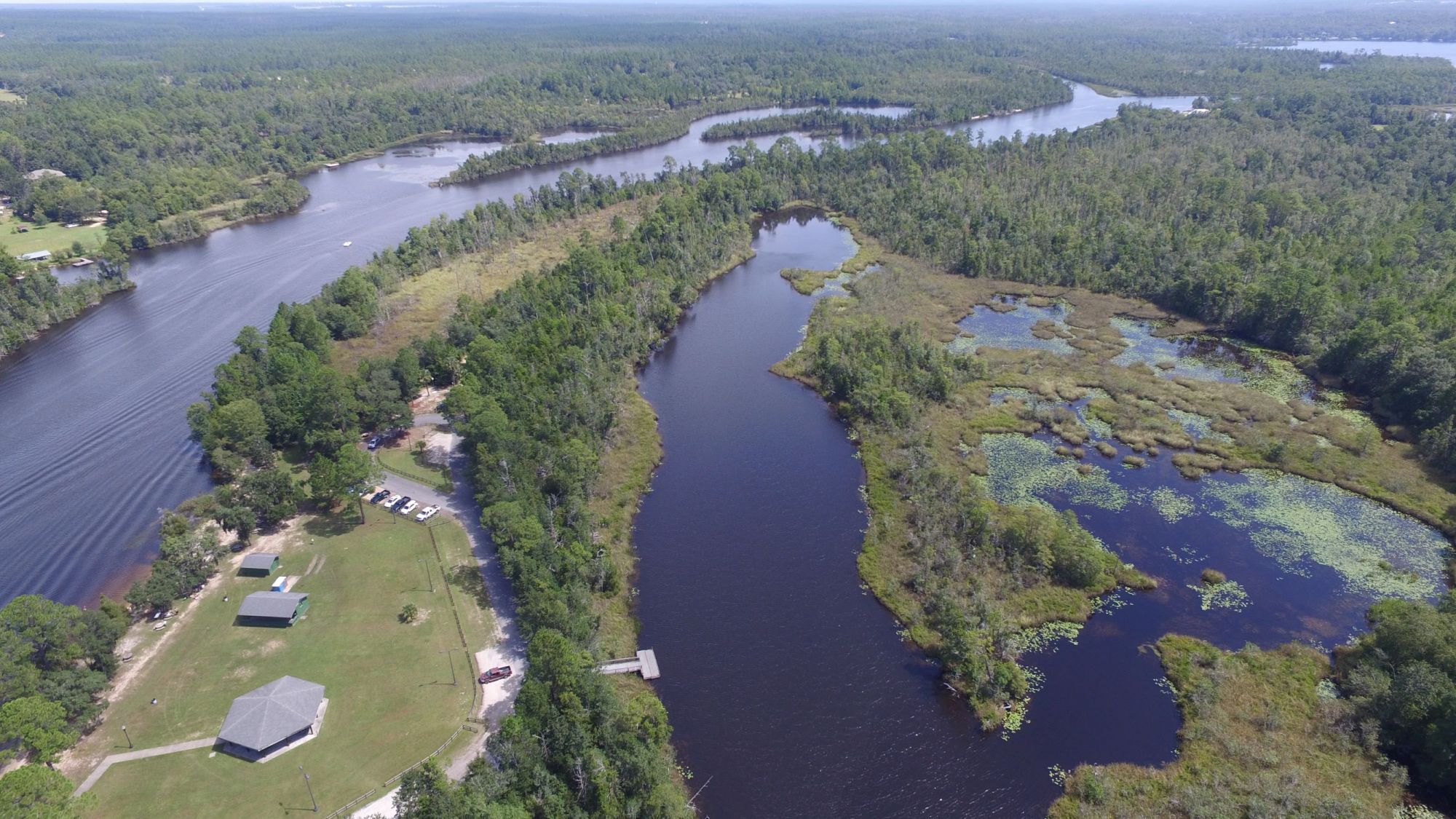
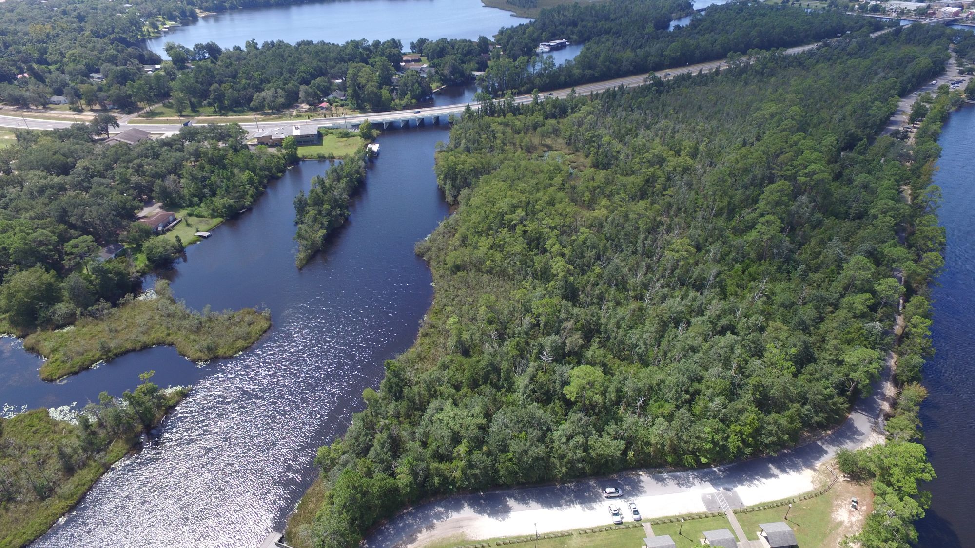
The Tampa Landing (a.k.a. Oyster Pile boat ramp) on the Blackwater River with Oakland Basin in the background
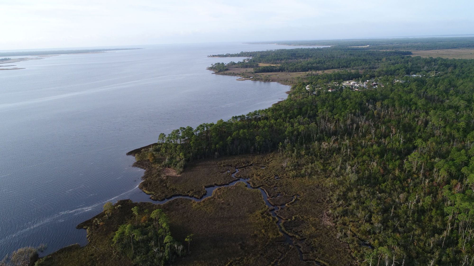
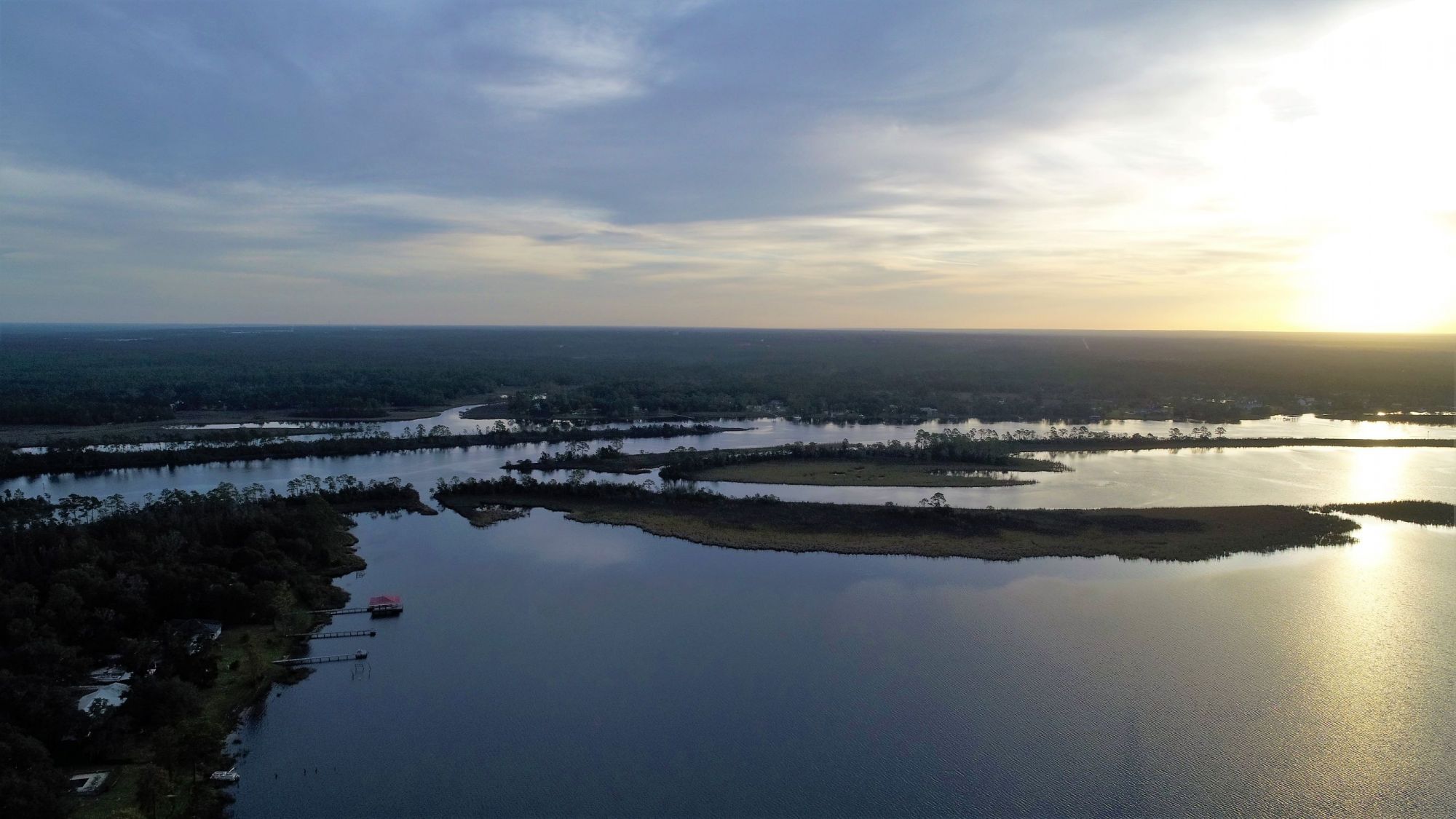
North of the Marquis Basin Bayou Bridge and south of Russell Harber Landing on the Blackwater River.
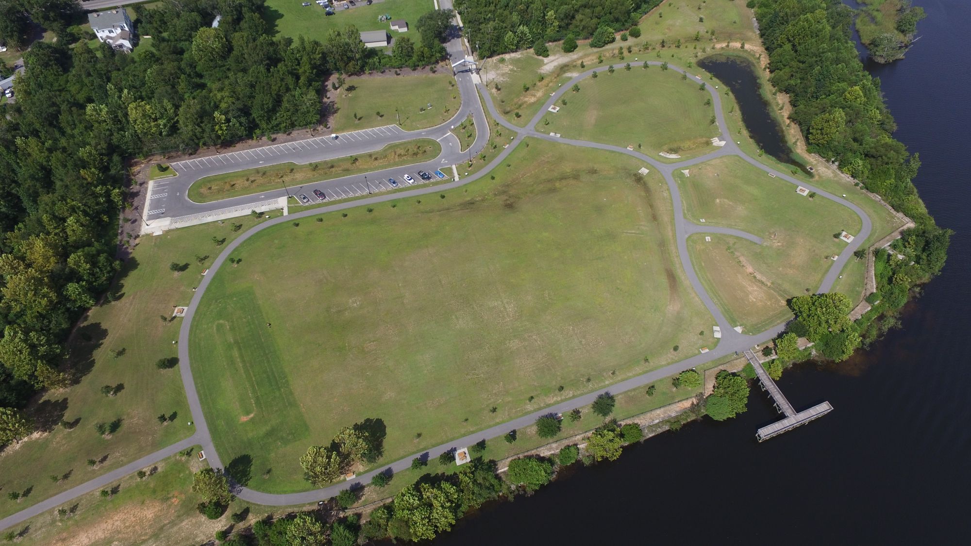
Russell Harber Landing near Milton, Florida